How can intelligent traffic systems integration reduce data silos?
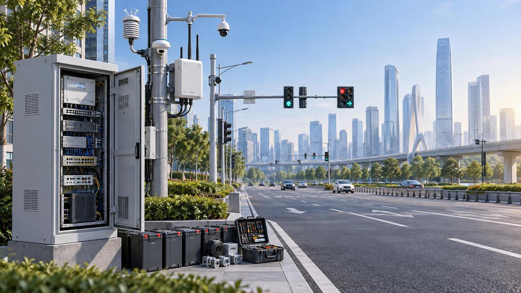
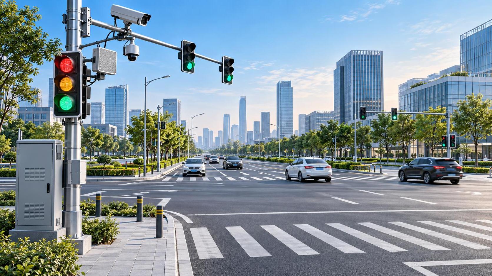
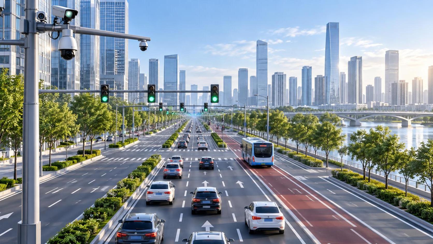
At 7:45 a.m., a city may already have thousands of mobility signals in motion: adaptive traffic controllers adjusting cycle lengths, cameras detecting queues, buses reporting positions, roadside units exchanging messages, emergency dispatchers opening incident records, and navigation platforms reflecting conditions on public roads. Yet the people expected to manage this network often still work with separate screens, disconnected databases, and delayed reports.
For technical evaluators, intelligent traffic systems integration is not simply a matter of placing more devices on the roadside or building a larger operations center. Its real value lies in creating dependable connections among fragmented data environments. When traffic signals, transit systems, parking platforms, weather feeds, incident-response tools, and urban data platforms can exchange meaningful information, data stops being a collection of isolated records and becomes operational intelligence.
The difficult part is not collecting data. Cities and transport agencies already collect enormous volumes of it. The difficult part is ensuring that data is discoverable, interpretable, governed, and usable at the moment a control-room operator, planner, field engineer, or emergency coordinator needs it.
Why traffic data silos persist even in “smart” cities
Most traffic data silos were not created through negligence. They emerged gradually, as different departments solved legitimate problems with separate budgets, procurement cycles, vendors, and operational priorities. A signal-control team may deploy one platform for intersections; a public transit authority may use another for fleet management; police and emergency services may rely on a dispatch system designed around incident response rather than mobility analytics.
Over time, each system becomes internally useful but externally difficult to connect. Data formats differ. Location references do not match. One platform updates every few seconds, while another publishes a batch file once per day. A camera vendor may expose video metadata but not raw events; a legacy controller may communicate through a proprietary protocol. Even where APIs exist, access rights, data ownership, and cybersecurity controls can prevent meaningful exchange.
The operational cost appears in ordinary moments. A bus delay is visible to the transit team but not to the signal operator who could provide transit priority. A road closure is recorded by maintenance crews but reaches navigation services too late. An incident causes unusual congestion, but analysts need to manually compare emergency logs, detector data, and camera observations before they can determine the likely cause.
These are not merely technology inconveniences. They affect response times, network reliability, traveler information, fuel consumption, public confidence, and the ability to make investment decisions from evidence rather than assumptions.
Integration is a capability stack, not a single platform purchase
A common evaluation mistake is to treat integration as a dashboard requirement. A dashboard can make fragmented information look unified, but it does not necessarily create interoperability. If the underlying systems remain disconnected, the dashboard may become another layer of manual work and brittle point-to-point connectors.
A stronger intelligent traffic systems integration approach separates the problem into several connected capabilities:
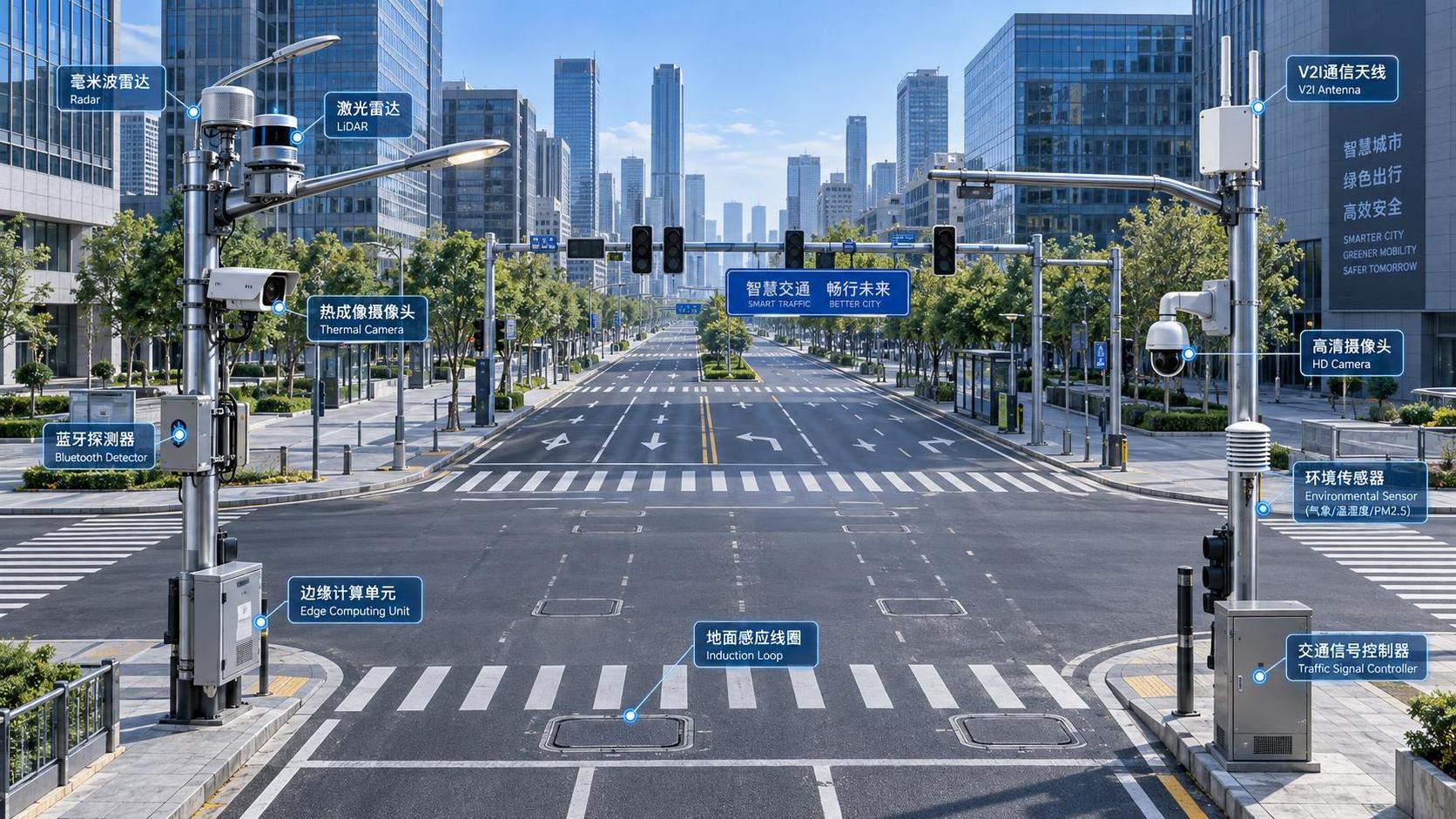
- Data acquisition: Collecting data from traffic controllers, inductive loops, radar, cameras, connected vehicle infrastructure, transit AVL systems, parking sensors, weather stations, work-zone systems, and third-party mobility feeds.
- Connectivity and translation: Converting incompatible device messages and application interfaces into managed, reusable exchanges.
- Context and standardization: Aligning timestamps, route identifiers, road segments, intersection IDs, asset records, event categories, and measurement units.
- Data management: Storing real-time streams, historical records, geospatial layers, video metadata, and operational documents according to their different performance and retention needs.
- Operational applications: Supporting signal coordination, incident management, traveler information, transit priority, maintenance planning, congestion analysis, and network performance monitoring.
- Governance and assurance: Defining who may access what, how data quality is measured, how changes are approved, and how the architecture remains secure over time.
This distinction matters during procurement. A solution may present an attractive command-center interface while relying on custom connectors that are expensive to maintain. Another may look less polished in a demonstration but provide documented APIs, standard protocols, event streaming, and a clear data model that can support future use cases. For an evaluator, the second option often represents the more resilient investment.
Start with operational decisions, not with a list of devices
The most successful integration programs begin by asking which decisions are currently slowed by missing or disconnected information. This reverses the usual technology-first process.
For example, an urban traffic management center may want to reduce the time needed to verify and respond to incidents. That goal requires more than camera feeds. It may require a shared event model that combines emergency dispatch alerts, detector anomalies, traffic camera metadata, roadwork notices, weather warnings, and field-crew status. Once these sources are correlated around a common location and time reference, operators can see a more complete picture without opening six separate applications.
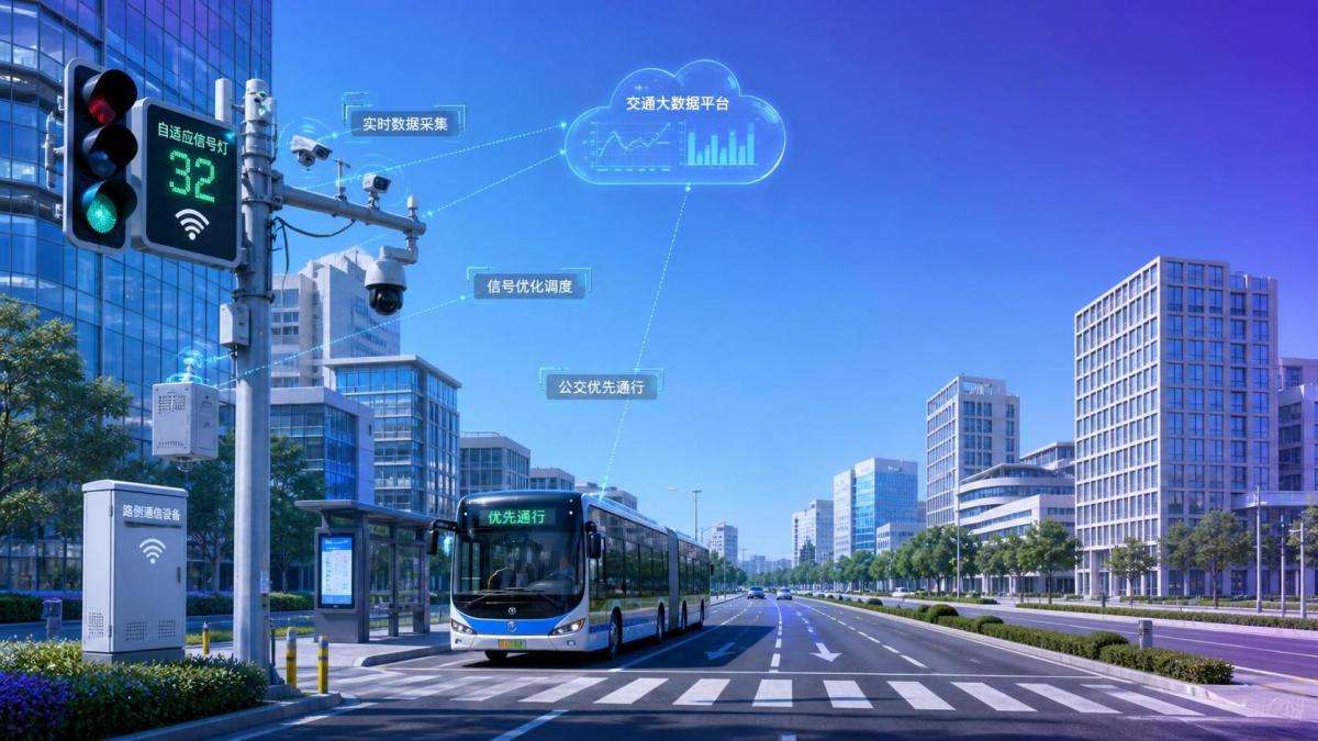
Similarly, transit signal priority becomes more reliable when the traffic system can receive current vehicle location, route adherence, passenger-load indicators where appropriate, intersection status, and downstream congestion conditions. The integration objective is not “connect buses to signals.” It is to make a controlled, explainable decision about when priority is justified and how it affects cross-street traffic.
Technical teams should therefore map use cases before finalizing architecture. Useful questions include:
- Which recurring decisions rely on manual data reconciliation?
- Where do operators lose time switching between systems?
- Which data sources are authoritative for an event, asset, location, or service status?
- What action should be triggered by integrated information: alerting, signal-plan adjustment, public messaging, dispatch, or post-event analysis?
- What level of latency is genuinely required for each use case?
Not every dataset needs real-time integration. Historical pavement-condition records, for example, may support asset planning through scheduled synchronization. Signal state, emergency vehicle approach, and incident alerts may require near-real-time exchange. Matching integration patterns to operational need avoids both overengineering and unsafe delay.
Build around shared identifiers and open exchange patterns
Data silos are often described as an API problem, but APIs alone do not solve semantic inconsistency. Two systems can exchange a field called “location” while meaning entirely different things: a GPS coordinate, a road segment, a milepost, a signal cabinet, or a police beat. Without a common reference framework, integration can distribute confusion faster.
A practical architecture establishes shared identifiers for network assets and locations. Intersections, corridors, lanes, transit stops, parking facilities, tunnels, variable message signs, and roadside devices should have stable IDs linked to geospatial records. Event models should also define consistent categories for collisions, stalled vehicles, flooding, planned works, signal faults, and abnormal congestion.
Standards can reduce translation effort and vendor dependency when applied with care. Depending on regional requirements and system scope, evaluators may examine support for interfaces and data practices such as NTCIP for traffic control devices, DATEX II for traffic and travel information exchange, GTFS and GTFS-Realtime for transit data, TMDD for traffic management data, OpenAPI-based service definitions, and widely used geospatial standards from OGC. The goal is not to impose every available standard. It is to select standards that match the agency’s existing ecosystem, regulatory setting, and future integration partners.
Event-driven architecture is especially useful for mobility operations. Rather than repeatedly polling every source, systems can publish meaningful events: a detector failure, a travel-time threshold breach, a bus running late, a lane closure beginning, or an emergency vehicle requesting priority. Subscribers receive only the events relevant to their function. This approach can improve responsiveness while limiting unnecessary system load.
Still, no standard eliminates the need for a data contract. Each exchange should specify ownership, field definitions, expected frequency, quality thresholds, failure behavior, retention, permitted use, and versioning rules. These details are less visible than a digital map on a video wall, but they determine whether the system remains trustworthy after the pilot phase.
Use a layered architecture to avoid replacing one silo with another
A central data platform can be valuable, but it should not become a new bottleneck where every department must surrender control of its operational systems. In a mature model, source systems retain responsibility for the functions they perform best, while an integration layer provides controlled access to selected data and services.
At the edge, gateways can connect roadside equipment and legacy controllers without exposing field networks directly to enterprise applications. A communications layer manages secure transport and device health. Above it, an integration layer handles API management, message brokering, protocol translation, and stream processing. A shared data environment supports historical analysis, geospatial context, and cross-domain reporting. Operational applications then consume standardized services rather than building their own private data copies.
This layered approach is particularly relevant to infrastructure environments where equipment lifecycles may extend for decades. Replacing every controller, sensor, or back-office application at once is rarely realistic. Integration should allow cities to modernize incrementally: connect high-value systems first, create reusable interfaces, and retire fragile point-to-point links as assets are renewed.
Data governance determines whether integration remains usable
When traffic information crosses organizational boundaries, governance becomes an operational requirement rather than an administrative exercise. A city may own signal data, while a regional authority manages highways, a transit operator controls fleet telemetry, and an emergency service maintains incident records. Without agreed rules, integration can stall over questions that technology cannot answer.
Governance should define data stewards for major domains, including network assets, traffic operations, transit services, incidents, and traveler information. These stewards do not need to approve every message exchange, but they should be responsible for definitions, quality expectations, access conditions, and change management.
Privacy also deserves early attention. Vehicle trajectories, camera analytics, Bluetooth or Wi-Fi observations, and mobile-derived mobility data can create sensitive records when combined over time. An effective design applies data minimization, aggregation where suitable, retention limits, role-based access, audit logging, and clear separation between operational needs and broader analytical use. Security teams should assess not only the central platform but also field devices, remote maintenance paths, vendor access, and third-party APIs.
For technical evaluators, a vendor’s answer to “Do you support cybersecurity?” is not enough. Ask how credentials are rotated, how software updates are validated, how interfaces are segmented, how anomalous API activity is detected, and how the system behaves if an upstream feed becomes unreliable or compromised.
Measure integration by decisions improved, not feeds connected
A program can report dozens of connected systems and still fail to reduce silos in practice. Better performance measures focus on outcomes that matter to operators and planners. These may include the time required to detect and verify an incident, the percentage of priority data feeds meeting freshness targets, the number of manual exports eliminated from a daily workflow, the completeness of network coverage, or the time required to publish a verified road closure to traveler-information channels.
Data quality metrics are equally important. Monitor missing values, duplicate events, timestamp drift, unmatched asset IDs, location accuracy, interface uptime, and message-processing delays. If teams cannot see the health of the integration itself, they may make decisions based on incomplete information without realizing it.
It is also wise to track whether integrated insights lead to action. A congestion prediction model has limited value if operators lack defined response plans. An incident feed is less useful if its alerts do not reach the teams responsible for lane control, public messaging, or field dispatch.
A phased route from fragmented systems to a connected mobility environment
Large-scale integration does not need to begin with a citywide replacement program. A focused first phase can target one corridor, a recurring incident hotspot, a transit-priority route, or a major event district. The scope should be meaningful enough to test operational value, but contained enough to reveal data-quality and governance issues before they spread.
During this phase, technical teams should inventory interfaces, identify authoritative systems, establish a canonical location model, and test failure scenarios—not only normal data exchange. What happens when a sensor stops reporting? When a traffic controller sends outdated status? When an external map provider is unavailable? These conditions reveal whether the architecture can support real operations rather than a demonstration environment.
After the first use case is stable, agencies can expand through reusable patterns: a common API gateway, standardized event schemas, shared identity management, and documented onboarding procedures for new data sources. This is where integration begins to compound in value. Each new system does not require a custom relationship with every existing platform; it connects through the agreed framework.
For organizations responsible for the physical backbone of cities, this discipline is essential. Roads, rail links, utilities, emergency services, and public spaces increasingly operate as one interdependent system. GIUT’s perspective across urban technology, transport infrastructure, smart governance, and engineering operations reflects that reality: intelligence is most valuable when it can move across the boundaries that once separated disciplines.
What technical evaluators should require before approving an integration strategy
Before selecting an intelligent traffic systems integration solution, request evidence rather than broad claims. Review interface documentation, supported standards, data models, authentication methods, monitoring tools, versioning practices, and procedures for onboarding legacy assets. Ask to see how the platform handles conflicting data, delayed messages, duplicate events, and schema changes.
Equally important, assess the operating model. Who maintains connectors after deployment? Can internal teams configure a new data feed without extensive custom development? Are APIs portable if a vendor relationship changes? Can the agency export its historical data and metadata in usable formats? These questions protect long-term flexibility.
Reducing data silos is ultimately about giving people a more coherent view of the transport network they are responsible for. The best integration programs do not erase the complexity of urban mobility. They make that complexity visible, structured, and actionable—so that a signal engineer, transit manager, incident commander, and city planner can work from connected evidence instead of partial snapshots.
Get weekly intelligence in your inbox.
No noise. No sponsored content. Pure intelligence.
News Recommendations
 Sep 19, 2026How an electronics application guide helps prevent component mismatchHow an electronics application guide helps prevent component mismatch
 Sep 18, 2026When a resource allocation platform improves project deliveryWhen a resource allocation platform improves project delivery
 Sep 17, 2026What to compare when evaluating mineral processing equipment manufacturersWhat to compare when evaluating mineral processing equipment manufacturers
 Sep 16, 2026How mineral separation optimization can reduce concentrate lossesHow mineral separation optimization can reduce concentrate losses
 Sep 15, 2026How to assess lifecycle costs in urban tech procurementHow to assess lifecycle costs in urban tech procurement
 Sep 14, 2026Heavy industry technology trends reshaping capital investment prioritiesHeavy industry technology trends reshaping capital investment priorities
 Sep 14, 2026Why Infrastructure Equipment Buyers Are Shifting from Catalog-Based to Capability-Based Supplier SelectionWhy Infrastructure Equipment Buyers Are Shifting from Catalog-Based to Capability-Based Supplier Selection
 Sep 14, 2026Process Automation Project Execution: How to Align Supplier Capabilities with PLC Integration, Cybersecurity & Commissioning MilestonesProcess Automation Project Execution: How to Align Supplier Capabilities with PLC Integration, Cybersecurity & Commissioning Milestones
 Sep 14, 2026Are intelligent traffic systems worth the investment for small cities?Are intelligent traffic systems worth the investment for small cities?
 Sep 14, 2026How do intelligent traffic systems handle sensor failures?How do intelligent traffic systems handle sensor failures?
 Sep 14, 2026What should I check before accepting a smart building system?What should I check before accepting a smart building system?
 Sep 14, 2026Is a smart building system worth the maintenance cost?Is a smart building system worth the maintenance cost?
 Sep 14, 2026What data is needed for reliable resource allocation planning?What data is needed for reliable resource allocation planning?
 Sep 14, 2026How can resource allocation software reduce equipment idle time?How can resource allocation software reduce equipment idle time?
 Sep 14, 2026How should smart devices be maintained in harsh outdoor conditions?How should smart devices be maintained in harsh outdoor conditions?
 Sep 14, 2026Do smart devices improve worker safety on construction sites?Do smart devices improve worker safety on construction sites?
 Sep 14, 2026What environmental risks must be assessed before deep-sea mining?What environmental risks must be assessed before deep-sea mining?
 Sep 14, 2026Is deep-sea mining equipment commercially viable in 2026?Is deep-sea mining equipment commercially viable in 2026?
 Sep 14, 2026What Inspection Checks Should Procurement Teams Perform Before Ordering Dredging Equipment in 2026?What Inspection Checks Should Procurement Teams Perform Before Ordering Dredging Equipment in 2026?
 Sep 13, 2026How to verify an industrial product information source before specifying equipmentHow to verify an industrial product information source before specifying equipment
 Sep 12, 2026Which intelligent traffic systems hardware fits an urban intersection?Which intelligent traffic systems hardware fits an urban intersection?
 Sep 11, 2026How pump capacity affects response coverage for municipal fire fighting vehiclesHow pump capacity affects response coverage for municipal fire fighting vehicles
 Sep 10, 2026What to verify before choosing a heavy industry equipment supplierWhat to verify before choosing a heavy industry equipment supplier
 Sep 09, 2026When do adaptive urban traffic control systems reduce corridor delays?When do adaptive urban traffic control systems reduce corridor delays?
 Sep 08, 2026When logistics technology solutions in North America reduce delivery delaysWhen logistics technology solutions in North America reduce delivery delays
 Sep 07, 2026How reliable are wireless mining safety systems in underground mines?How reliable are wireless mining safety systems in underground mines?
 Sep 07, 2026How to assess a smart lighting technology platform for interoperabilityHow to assess a smart lighting technology platform for interoperability